
Image: Climate Prediction Center
The National Oceanic and Atmospheric Administration’s (NOAA) Climate Prediction Center (CPC) has declared a La Niña watch for its ENSO Alert System, meaning current conditions are favorable for the development of a La Niña within the next six months. The term “La Niña Watch” refers specifically to a classification in which conditions are favorable for La Niña to develop within the next six months.
The outlook currently suggests we’re headed for a brief La Niña, which forecasters say is likely to develop within the next eight weeks or so. The transition from ENSO Neutral (neither El Niño or La Niña conditions) to La Niña is at its highest probability between October and December (71 percent likelihood). Forecasters say chances decrease to just 54 percent between December and February.
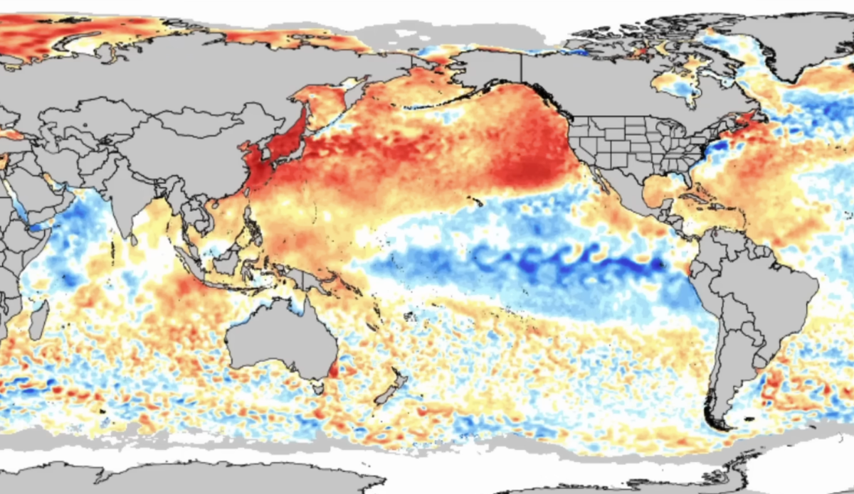
“ENSO-neutral continued in August 2025, with near-to-below average sea surface temperatures (SSTs) observed across the central and eastern equatorial Pacific Ocean,” reads the NOAA outlook. “In summary, (though) a transition from ENSO-neutral to La Niña is likely in the next couple of months, with a 71 percent chance of La Niña during October – December 2025. Thereafter, La Niña is favored but chances decrease to 54 percent in December 2025 – February 2026″
How this impacts our individual winters is always variable, of course. The first question most of us ask is “so, is it going to dump all winter or is it going to be warm and dry?” The answer to that is dependent on region, but always subject to change as an El Niño/La Niña actually takes shape. The folks at Powderchasers forecast an “above normal storm frequency to start the new season in the Pacific Northwest, and a normal to above normal season for the Northern Rockies. The Sierra Nevada range may see a “boom or bust” season dependent on whether you’re in the northern Sierra or Southern Sierra, while the Wasatch can expect a fairly normal season.
“Confidence (in these forecasts) reflects both climate signal strength and historical forecastability at the ski scale,” reads the Powderchasers report. “The Pacific Northwest and interior British Columbia look like the most reliable corridors in December and January.”
