
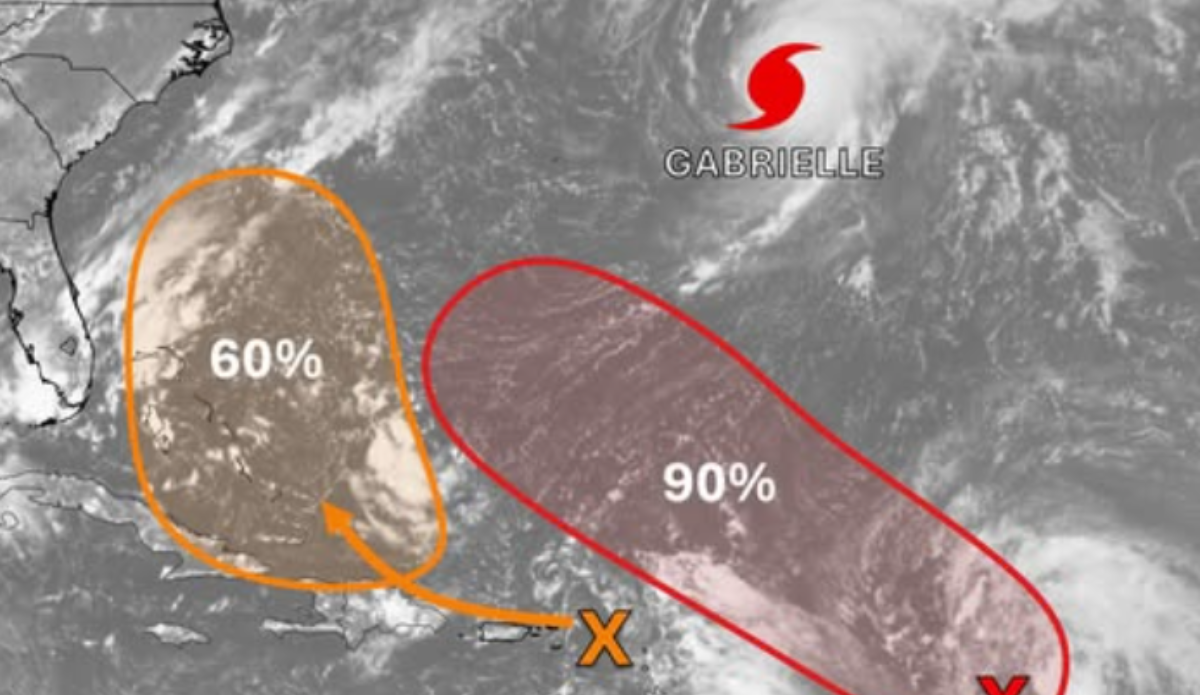
As of Tuesday morning, Eastern Time, Gabrielle was fewer than 400 miles east-northeast of Bermuda, with sustained maximum winds of 140 mph. Photo: NWS
The formation of Tropical Storm Gabrielle last week marked the first named storm over the Atlantic in weeks. It put an end to an unusual dead period right in the middle of what’s typically the peak of storm activity in the Atlantic hurricane season.
Gabrielle has since been elevated to a hurricane. As of Tuesday morning, the National Weather Service announced the storm appears to have reached the peak of its intensity and is now tracking east-northeast over the next few days. That new track aims the hurricane straight for the Azores while leaving behind some extreme conditions for parts of the U.S. east coast and the Caribbean.
“Gabrielle is forecast to approach the Azores late on Thursday as a hurricane. A Hurricane Watch remains in effect for all of the islands of the Azores, and interests there should closely monitor Gabrielle’s progress as hurricane conditions are possible later this week,” wrote the NWS, before addressing the impact Gabrielle will have on conditions on the other side of the Atlantic. “Swells generated by Gabrielle will continue to affect Bermuda, the east coast of the United States from North Carolina northward and Atlantic Canada during the next couple of days. These swells are likely to cause life-threatening surf and rip current conditions. Please consult products from your local weather office.”
View this post on Instagram
As of Tuesday morning, Eastern Time, Gabrielle was fewer than 400 miles east-northeast of Bermuda, with sustained maximum winds of 140 mph. Its was reported to be moving east-northeast at 20 mph, and is expected to have been downgraded to a Category 1 or Category 2 hurricane by the time it reaches the Azores.
