
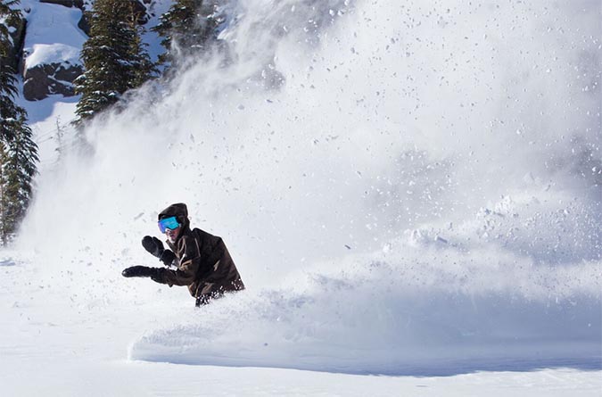
Photo: Mammoth Mountain
A fast-moving atmospheric river is pointing it for California, and forecasts are calling for as much as two feet of snow in the Southern Sierra. The promising early season dump conveniently lines up with Mammoth Mountain’s planned opening on Friday, November 14.
Things kick off Wednesday evening as the new storm arrives in Northern California and provides snow at higher elevations. The main event will begin Thursday evening into Friday morning as the system moves into Southern California. Snow totals in the Tahoe area won’t be as significant as further south in Mammoth, where skiers and snowboarders could wake up to more than a foot of snow right as Mammoth Mountain starts spinning chairlifts.
“Snow levels start high, near 7,500–8,500 feet early Thursday, then fall to around 6,000 feet by Thursday night and hold near that level Friday, improving base-area coverage. Snow character trends from denser on Thursday (SLR generally 6–8) to lighter Thursday night into Friday (SLR 11–13), which sets up a right-side-up profile. Temperatures cool from lower 30s Thursday to the 20s by Friday morning at mid to upper elevations,” writes PowderChasers. The trusted snow prediction site is calling for between 16-26 inches at Mammoth, on the higher end, and four to six inches at Mt. Rose, which just delayed its November 8 scheduled opening. Palisades Tahoe (14-23 inches) and Kirkwood (14-23 inches) are expected to see the highest snow totals in the Lake Tahoe region from this storm.
The bulk of the snowfall is expected in that surge beginning Thursday and stretching into the beginning of the weekend. What seems promising beyond that, however, is that cooler temps will linger and stormy conditions should taper off in the following days, giving all that fresh snow a chance stick around.
Pray for snow. The first turns of 2025-2026 are almost here.
View this post on Instagram
