
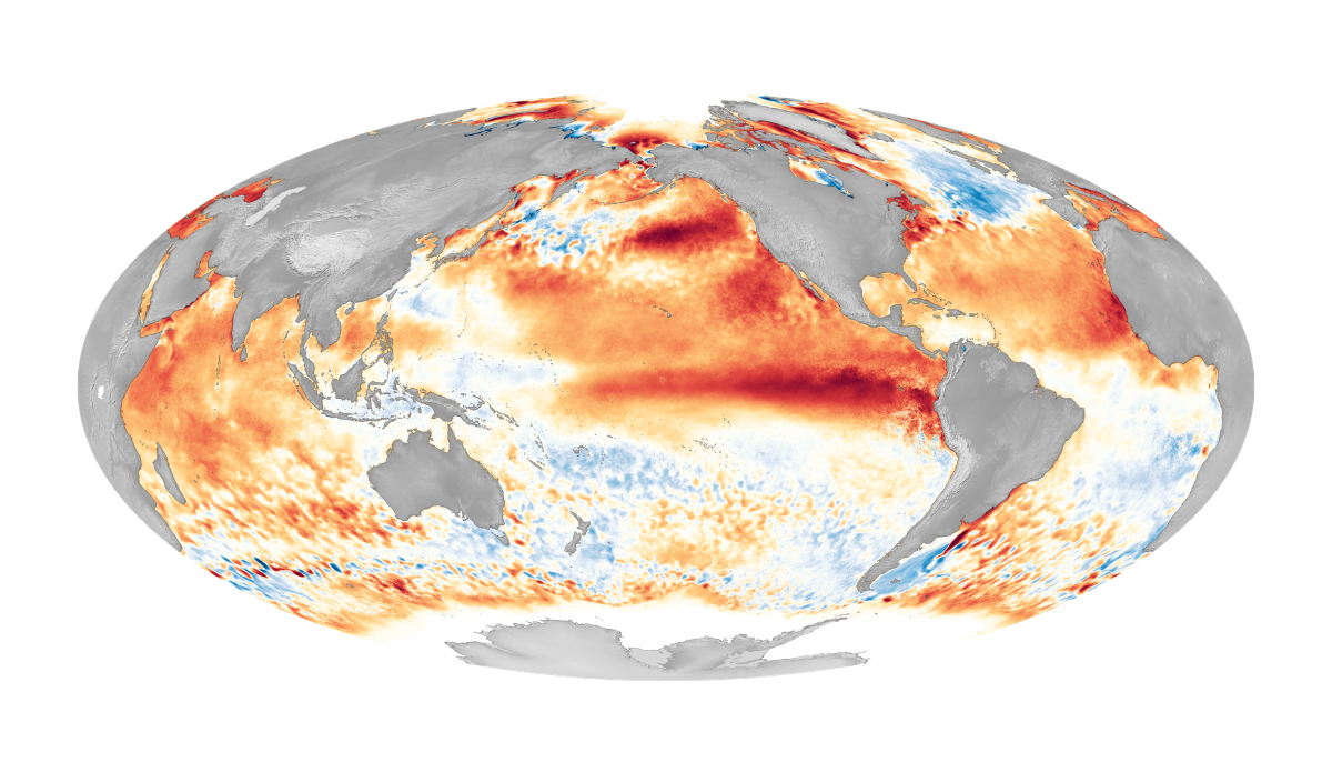
This particular map, from 2016, shows one of the strongest El Ninos on record. Photo: NOAA
The National Oceanic and Atmospheric Administration’s (NOAA) Climate Prediction Center (CPC) has yet to declare the end to this winter’s La Niña conditions, but that hasn’t stopped them from looking ahead and declaring that El Niño is likely on its way. The news comes from the CPC’s monthly El Niño/Southern Oscillation (ENSO) Diagnostic Discussion, which publishes short rundowns of data collected relating to the equatorial Pacific’s transitions through El Niño, La Niña, and ENSO-neutral (neither El Niño nor La Niña conditions present).
As we’ve transitioned out of a La Niña winter and shifted toward ENSO-neutral, some forecasters have started talking about a “Super El Niño” on the horizon. Those forecasts have created headlines and put people everywhere on alert, but NOAA isn’t being so bullish quite yet. Their forecasts do favor the formation of an El Niño by the end of summer (July-August), but noted that this outlook on the potential strength “remains very uncertain.” For the moment, NOAA is giving a one-in-three chance that this upcoming El Niño will develop into a “strong” one somewhere between October and December.
“Even though model forecasts are relatively less accurate this time of year, the increasing odds of El Niño are supported by the large amount of heat in the subsurface ocean and the expected weakening of the low-level trade winds. If El Niño forms, the potential strength remains very uncertain, with a 1-in-3 chance that it would be “strong” during October-December 2026,” NOAA wrote. “In summary, a transition from La Niña to ENSO-neutral is expected in the next month, with ENSO-neutral favored through May-July 2026 (55 percent chance). In June-August 2026, El Niño is likely to emerge (62 percent chance) and persist through at least the end of 2026.”
