
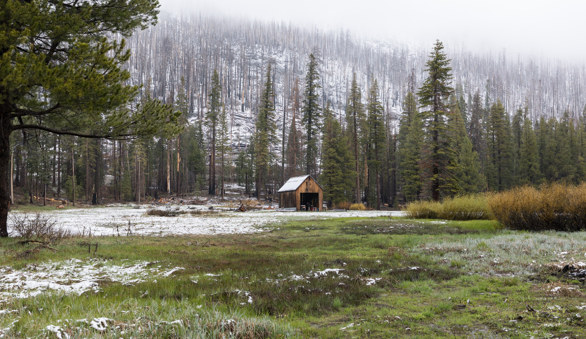
Even at 18 percent, stunning. Photo: California Department of Water Resources

April 1 is an important date for annual snowpack measurements throughout California (and many other places, of course) because it is typically a turning point as the climate shifts. The snowpack is usually at its most dense on or around that date, with the majority of the year’s snowfall in the rearview mirror, a shift into warmer temperatures each day, and the beginning of the snowmelt around the corner. To nobody’s surprise in California, this year’s April 1 snowpack totals were abysmal. Historically low, to be exact.
Measurements from California’s Department of Water Resources (DWR) April 1 survey revealed the statewide snowpack totaled just 18 percent of its average for that date. That ranks as the second-lowest total since 1960. Details within that headline-grabbing stat are even more revealing about this particular winter. The DWR’s report stated that the Phillips Station — a location in the Sierra Nevada near Lake Tahoe at around 6,800 feet — had no measurable snow (0 percent). The same station recorded 47 of its average just one month prior, proving that the historically warm March triggered an early and significant melt. While April 1 marks the typical peak of the Golden State’s snowpack, this season peaked an entire month ahead of schedule.
“It feels like we skipped spring this year and dropped straight into a summer heatwave,” said DWR Director Karla Nemeth. “What should be gradual snowmelt happened suddenly weeks ago. To me, this is another reminder that aging water systems need to be retrofit for more volatile precipitation patterns. We’re seeing fewer, warmer storms and shorter wet seasons. Future water supplies will depend upon our ability to capture water when it’s available and manage it more efficiently.”
Another factor influencing this year’s historically low snowpack was the “disconnect between precipitation and snowpack.” Warm temps throughout the winter, which aren’t unusual for a La Niña pattern in parts of the West and Southwest U.S., meant storms brought more rain rather than snow.
“We received near-average precipitation in many parts of the state, but much of it fell as rain instead of snow,” said Andy Reising, manager of DWR’s Snow Surveys and Water Supply Forecasting Unit. “That led to one of the lowest April snowpacks on record and one of the earliest peaks we’ve seen in decades — conditions that make forecasting runoff more complex.”
Water resource managers use these measurements to calculate how much snowmelt runoff should make its way into rivers and reservoirs, which dictates everything from statewide water supply to flood control resources. The monthly surveys and subsequent annual April 1 snowpack survey is equally important for ski resorts too. Similar to local officials planning resource management based on data, resorts plan everything from grooming schedules to snowmaking efforts and managing operational safety. And then there’s the most obvious dots to connect in which resorts plan for how long their season will, or won’t, last based on that snowpack.

