Photo: NOAA
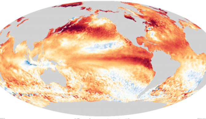
The current El Niño was officially declared just as the northern hemisphere spring was set to move into the northern hemisphere summer earlier this year. That was a significantly earlier arrival then anticipated when the possibility of a 2023 El Niñ0 first popped onto our radar in April.
“We’re due one,” NOAA’s Dr. Mike McPhaden said at the time. “However, the magnitude of the predicted El Niños shows a very large spread, everything from blockbuster to wimp.”
As the year has progressed, this El Niñ0 has looked more and more like the blockbuster variety. And NOAA’s Climate Prediction Center’s latest alert has it looking like the kind of blockbuster that takes more than three hours to sit through.
“El Niño is anticipated to continue through the Northern Hemisphere spring (with an 80 percent chance during March-May 2024),” forecasters are now saying. “There is a three in 10 chance of a ‘historically strong’ event that rivals 2015-16 and 1997-98 (seasonal average ≥ 2.0°C). Stronger El Niño events increase the likelihood of El Niño-related climate anomalies, but do not necessarily equate to strong impacts locally,” they added Thursday.
That level of certainty all but confirms one question forecasters have been trying to answer for some time now: will El Niño operate through the winter? As the administration’s monthly update points out, that means the next question is how strong will it get?
“Forecasters give that around a 3-in-10 chance for November–January,” they say. “The climate models have a fairly wide range of potential outcomes – if they were concentrated above 2.0 °C, we’d probably be able to give more confident chances. Also, while there is still a good amount of heat under the surface of the Pacific – this warmer water provides a source to the surface –it’s not quite at the level we’ve seen during previous historically strong El Niños like 1982–83, 1997–98, or 2015–16.”

