
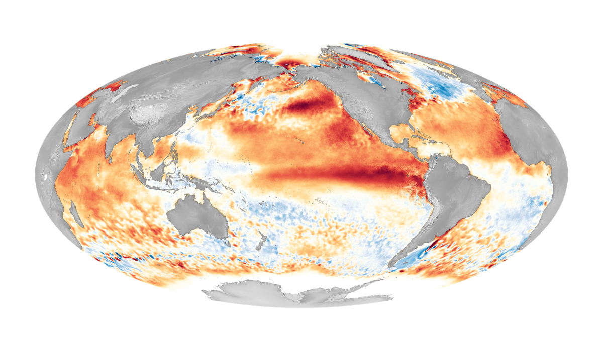
This particular map, from 2016, shows one of the strongest El Ninos on record. Photo: NOAA
Putting climate events into layman’s terms is an art form for the scientific community. For example, when a scientist realizes that we’ve become too desensitized to the roller coaster rides of El Niños, some, it seems, feel it’s necessary to dub the more extreme weather events “Super El Niños.” Wanna up the ante? Recently, we were gifted the term “Godzilla El Niño” from forecasters.
Both terms have been thrown around a lot lately to articulate what may be on deck for 2026-2027 — an El Niño brewing with the potential to match the 1997-1998, or 2015-2016 El Niños. There’s a lot of hyperbole being used to describe these weather patterns. But Paul Roundy, an atmospheric scientist at the University at Albany, wasn’t using hyperbole when he expressed that the incoming climate event has “real potential for the strongest El Niño event in 140 years.”
Real potential for the strongest El Niño event in 140 years. https://t.co/aT9IdIg4Fn
— Paul Roundy (@PaulRoundy1) April 5, 2026
Last month, the National Oceanic and Atmospheric Administration (NOAA) forecasted the the incoming El Niño is likely to arrive by August. The institution’s next monthly diagnostics discussion will actually be released on Thursday, April 9, and if the incoming report follows recent trends, the arrival timeline or intensity (or both) could be officially moved up. But it’s not just NOAA forecasters monitoring developments. Roundy’s remarks this week came just after the European Centre for Medium-Range Weather Forecasts released its own April report. Those models expect El Niño conditions to arrive by July. Another climate scientist from Columbia University expressed to the San Francisco Chronicle this week that forecasters from Europe, NASA, and Australia, are all predicting this will be a “strong El Niño,” adding credibility to the expectations.
El Niños typically mean bigger waves and storm patterns for the southern half of the Western United States. But that hasn’t always been the case. We interviewed a climate researcher recently about what an abnormally large El Niño pattern could mean this year. And the answers weren’t entirely clear as far as moisture and snow totals. But the chances that the Pacific sees bigger waves is very real.
“The consistent thing across all those events is much larger waves and very high incidents of beach erosion. What’s been random is the rainfall, and people are trying to understand those atmospheric patterns better,” Patrick Barnard, Research Director of UC Santa Cruz’s Center for Coastal Climate Resilience told The Inertia in March. “What we may see is that we have massive storms in the Pacific still being generated during El Niños, which bring really, really big waves to California. But the storms (and their rainfall) have been going further north, not hammering Southern and Central California as they have in the past.”
