
Photo: National Weather Service
California’s snowpack has fallen significantly below its average for the beginning of February, according to new data shared by the Department of Water Resources (DWR). That announcement comes after the department conducted its second snow survey of 2025, which compiles data from 130 automated snow sensors across the state.
Statewide, California’s snowpack is 65 percent of its average for this time of year and 40 percent of its April 1 average. That last figure is significant for the DWR because April 1 snowpack typically supplies about 30 percent of the state’s water needs. For skiers and snowboarders, however, a series of February storms are well overdue after a slow January. The statewide total was 108 of its seasonal average on January 1.
“Despite a good start to the snowpack in the Northern Sierra in November and December, we can look back as recently as 2013 and 2021 to show how quickly conditions can change for the drier,” said DWR Director Karla Nemeth. “California missed out on critical snow-building storms in January which has pushed the state down below average for this time of year. While we are excited to see some storm activity in the coming days, sustained periods of no precipitation can dry the state out very quickly. For each day it’s not snowing or raining, we are not keeping up with what we need.”
Regionally, the Northern Sierra Nevada isn’t far off the mark. Having fallen to 89 percent of its average for this time of year, things are looking much better than the Central Sierra (58 percent) and the Southern Sierra Nevada (47 percent). That equates to a snow water equivalent of 17.4 inches in the Northern Sierra, 11.8 inches in the Central Sierra, and just 6.8 inches in the Southern Sierra.
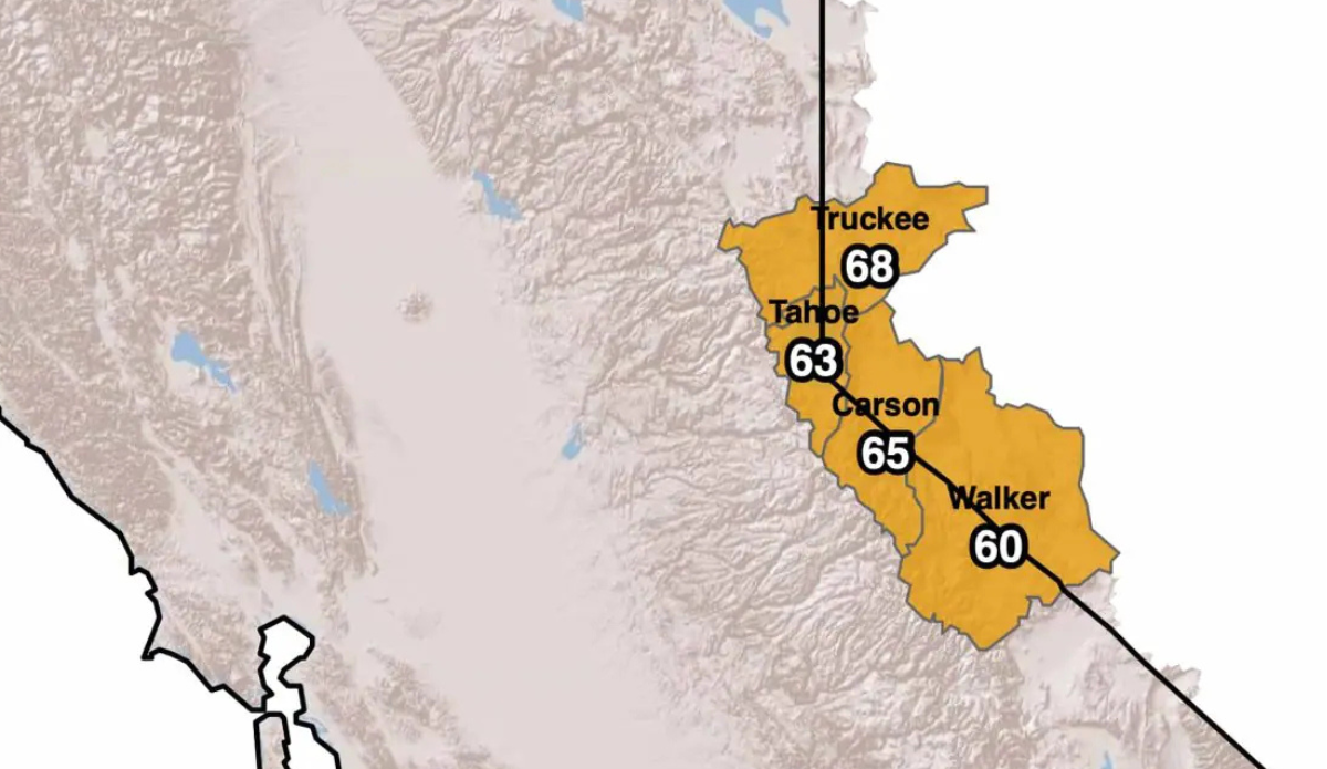
All this adds up to perfect timing for a new series of storms set to rip through the Western United States. Forecasts are calling for as much as five feet of powder in parts of the Golden State, while the Wasatch, Rockies, and Pacific Northwest all share some of the spoils. According to the folks at PowderChasers, Tahoe’s Sugar Bowl can expect between 35 and 60 inches between Monday and Friday night with several other Tahoe resorts breaking the 50-inch range as well.
“By Friday, snow levels should remain high enough for rain below 6000-6500 feet, but heavy snowfall persists for the higher peaks,” PowderChasers wrote. “Periodic breaks in precipitation are possible, but total storm accumulations through Friday night will be substantial. Looking into the weekend, lighter snows linger off and on before conditions gradually diminish.”
