
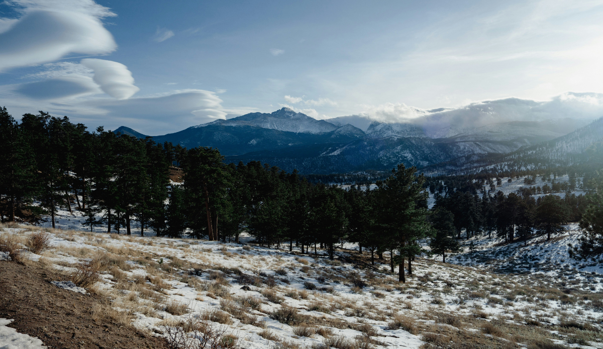
Photo: Unsplash
The Colorado Climate Center’s Russ Schumacher just declared something nobody in the state was surprised to learn last week. In a Colorado State University climate blog, the climatologist says this past winter created “the worst year for Colorado snowpack in recorded history.”
Record high temperatures played one of the biggest roles in the Centennial State’s end-of-winter status, which was the case in California’s April 1 snowpack reports as well. Schumacher shared an image from the National Oceanic and Atmospheric Administration to illustrate his point, in which you can see several counties throughout the state experienced more than seven days or more of temperatures warmer than any March high recorded between 1951 and 2025. Those record highs, of course, fueled a massive melt off occurring far earlier in the year than is typical.
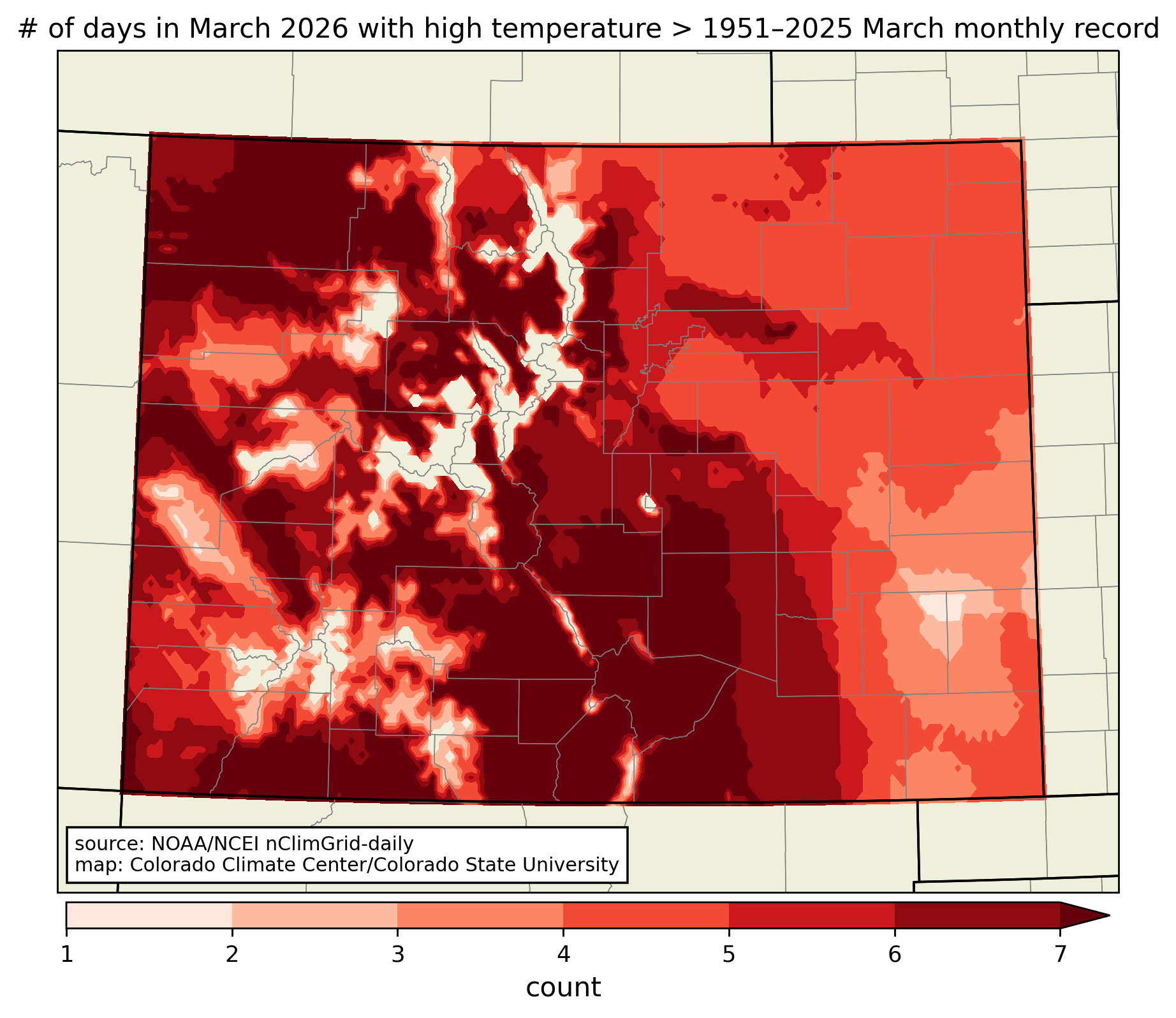
Image: NOAA/nClimGrid-daily
“Amid the record-shattering heat in the second half of March, statewide snowpack declined by nearly five inches. Previously, the fastest decline in a 2-week period before April 1 was 2.3″ in 2012, one of the worst years for spring snowpack. Only two times has the SWE dropped by more than five inches in two weeks before the end of April, in 1987 and 1989 which were both years with above-average peaks that started melting on the early side,” he wrote.
Ironically, April did start off with decent snowfall. It brought some resorts to life for a bit, but the data reflected snowfall recorded at 64 sites up to March 31. Remarkably, 60 of those sites either tied or beat their lowest April 1 snowpack ever recorded. Digging even deeper into that point, 18 of the sites had no snow to even record. Colorado’s previous “worst” April 1 snowpacks on record (aka worst winters), had been 1976-77, 1980-81, and 2012.
“The one bit of good news is that April has started off like April, rather than whatever the March-June hybrid was that we just went through. Widespread precipitation fell in western Colorado, with snow in the mountains and rain at lower elevations. Some locations in southwestern Colorado that had zero precipitation in March, received well over an inch of precipitation between Tuesday and Wednesday. (Note that the Drought Monitor map shown above only includes data through early Tuesday morning, so the recent storm is not reflected.) Some of the mountain SNOTEL sites that had gone snow-free at the end of March have snow on the ground again.”
