
A few excellent days of skiing in California will be soured by an unseasonably warm rain event. Photo: Chris Segal//Palisades Tahoe//Instagram
California skiers and snowboarders had little time to enjoy last week’s big snowfall as a warm, wet storm is set to bring high-elevation rain to the Sierra Nevada.
As the storm funnels moisture from the subtropics, the snow line will be as high as 10,000 feet — even up to 12,000 — spoiling the snow quality and increasing avalanche risk. Of the Lake Tahoe resorts, only Heavenly has a summit altitude that cracks 10,000 feet.
As much as 2.5 inches of rain will fall in parts of the mountains, adding weight to a fresh pack of snow that can cause “roofs” or other snow structures to weaken and collapse. There is also an increased risk of “wet slab” avalanches, where the meltwater weakens the bond between the lower layer and the snow slab resting on top of it. The Sierra Nevada Avalanche Center is increasing the risk of avalanche from “considerable” to “high” on Tuesday.
The rain is expected to begin on Tuesday and mostly peter out by the evening, with a few areas receiving precipitation through Wednesday morning.
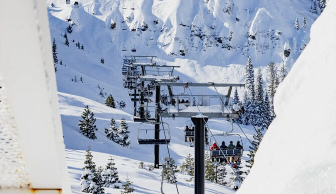
After an unseasonably warm winter with more than a month with little to no snowfall, the Sierra Nevada experienced a significant snow event last week. Palisades on the north shore of Lake Tahoe received 115 inches of snow in its upper mountain areas, with other resorts like Northstar and Heavenly receiving 80 and 62 inches, respectively.
Forecasts say that the highest peaks of Northern California could receive 1-3 inches of snow on Tuesday, but it will mostly be a rain event in the mountains. Temperatures will be five to 10 degrees above normal.
