
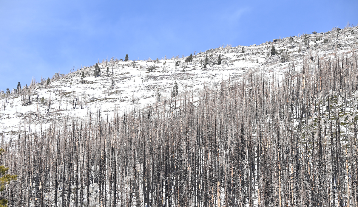
The California Department of Water Resources’ snow survey is held approximately 90 miles east of Sacramento off Highway 50 in El Dorado County. Photo: Ken James//California Department of Water Resources
From the perspective of powder hounds, it’s been easy to characterize California’s winter as “one of the worst ever.” Almost every ski resort in the Sierra delayed its opening day plans as late fall temps refused to drop. Meanwhile, like other parts of the Western U.S., the winter months have been characterized by grueling dry spells, warm weather, with intense storms sprinkled in randomly. A mid-February storm highlighted that pattern perfectly by dropping several feet of snow throughout the Sierra Nevada in a matter of days. But even after historic snowfall totals in that brief period, California’s Department of Water Resources (DWR) reports that the statewide snowpack is still significantly below average.
On February 27, the department announced that the statewide snowpack was 66 percent of its average for its calendar date.
“Although the storms we saw in mid-February were some of the coldest and best snow-producing storms we have seen since 2023, they were not enough to get us back to average conditions,” said Andy Reising, Manager of DWR’s Snow Survey’s and Water Supply Forecasting Unit. “The snowpack is in better shape than it was one month ago, but we only have a month left of our snow-accumulation season and time is rapidly running out to catch up. Statewide, we are only about 57 percent of where we hope to be by April 1.”
While the report focused on the statewide picture, it also noted that the Sierra Nevada range has experienced an uneven distribution. The situation in the Southern Sierra (Mammoth Mountain and June Mountain) isn’t so dire with 90 percent of its average snowpack throughout the season. The Northern Sierra (Lake Tahoe), on the other hand, has just 46 percent of its average snowpack.
