
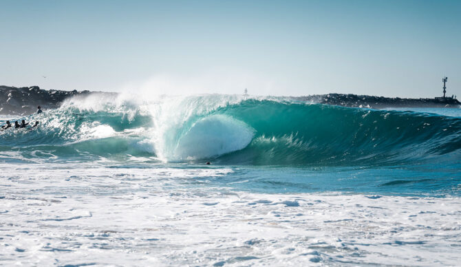
Wedge surfers are hoping Fausto can provide the goods. Photo: Sean Evans

More than two months into the Eastern Pacific hurricane season, not a single hurricane had formed — neither in the Eastern Pacific nor Atlantic basins, for that matter. But that changed on Monday night, as Fausto strengthened into a Category 2 hurricane, marking the start of what forecasters expect to be an active El Niño-fueled season in the Pacific.
According to the National Hurricane Center’s latest update, the storm is spinning 735 miles southwest of Cabo San Lucas and has sustained wind speeds of 75 miles per hour. The storm has since weakened but is expected to reach peak intensity in the next 36 to 60 hours.
Here is a look at the forecast path:
7/20 2pm PDT: #Fausto is nearing hurricane strength over the open Pacific waters.
See https://t.co/Oy8uoeRKme for the latest updates. pic.twitter.com/ZXNT7IoRqa
— NHC Pacific (@NHC_Pacific) July 20, 2026
Fausto comes on the back of Tropical Storm Elida, which failed to reach hurricane status and is currently weakening in cold waters north of Fausto. Elida, however, took a favorable northerly track that sent a pulse of surf to the west coasts of California and Baja California.
While Fausto has become stronger than Elida, models predict that it will drift in a more westerly direction deeper into the Pacific Ocean, away from California. If it maintains that track, it could mean reduced impact for surf in California.
Despite the slow start, warm El Niño waters are still expected to fuel an active tropical season in the Eastern Pacific. But before you get too excited, experts caution that El Niño’s effects have become more difficult to predict in the era of climate change. They warn that super El Niños — especially an extreme event like this year’s — could produce different impacts than they have in the past. Keep a close eye on the forecast in the coming days to see how this storm builds.

