
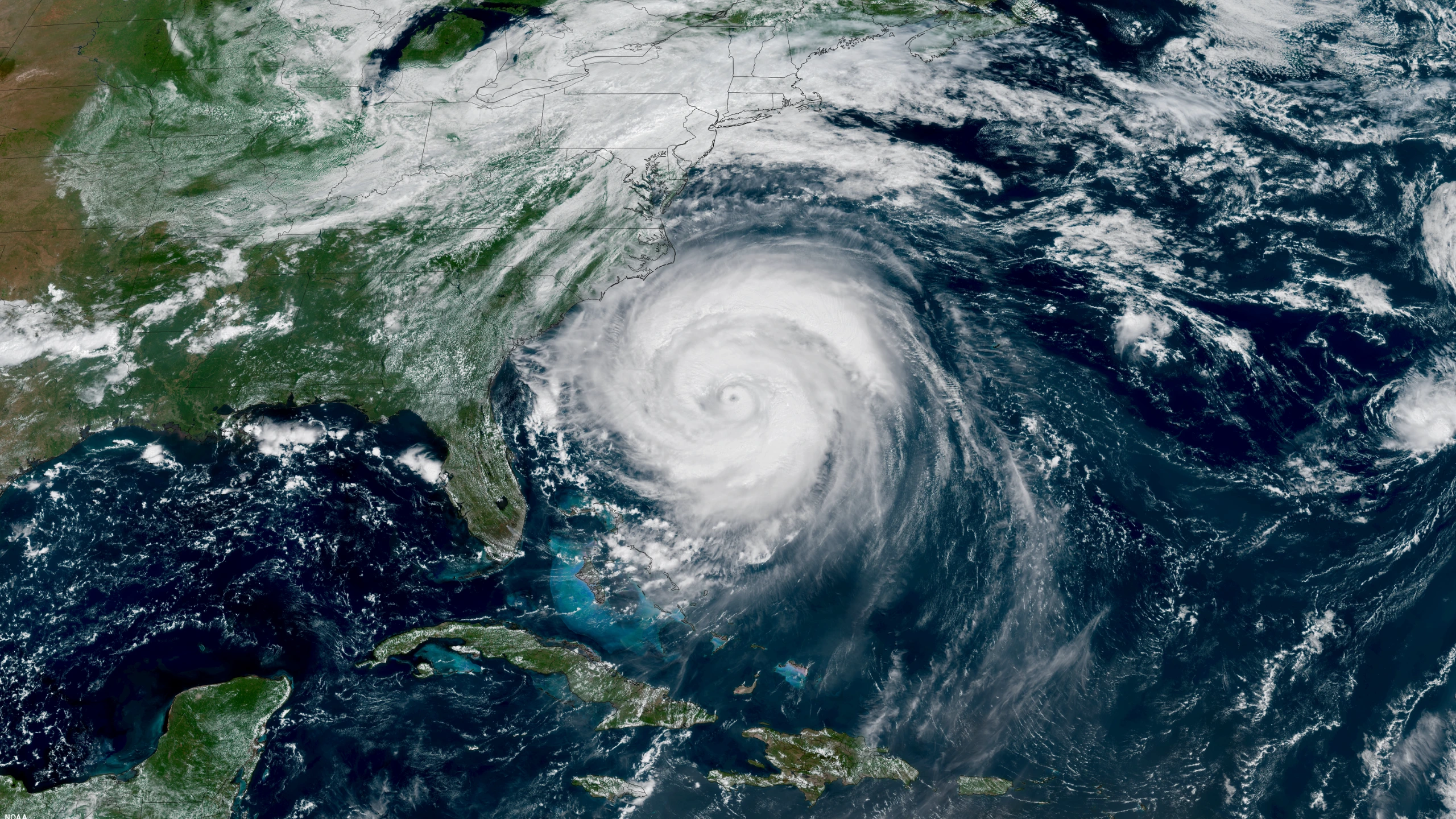
A NOAA satellite view of a massive Hurricane Erin churning off the U.S. East Coast taken August 20, 2025. (Photo: NOAA Satellites)

El Niño is flipping hurricane season on its head in 2026. Just this week, Hurricane Polo strengthened from a tropical depression to a Category 5 hurricane faster than any other hurricane ever recorded as it moves through the Pacific Ocean. Meanwhile, the Atlantic Ocean, which averages just one less named storm between June and November than the Pacific in a typical year, has been far less active (much to the chagrin of East Coast surfers). It was just last week that meteorologists pointed out the Atlantic Ocean had matched a 60-year mark of the latest date during the season without a named storm developing into a hurricane. A new mark has now been matched.
On Monday, the Atlantic basin reached September 21 without producing a hurricane for the first time since 1914. There are still a little more than two months to go before the end of hurricane season (November 30), which means there is still a lot of room for storms to form and strengthen over the Atlantic this fall. However, both 1907 and 1914 saw hurricane seasons come and go without any storms reaching hurricane strength.
There have been six named storms over the Atlantic basin this year, which keeps pace with a seasonal prediction the National Oceanic and Atmospheric Administration released back in May (8-14 named storms), with as many as three developing into major storms. The forecast for a “below average” hurricane season in that part of the world was fueled by the development of El Niño, which results in drier air through the region and strong upper-level wind shear.
“If the 2026 Atlantic hurricane season ends up being below-normal, it would mark only the second season in the last decade without above-normal activity,” NOAA said when they reduced their forecast to seven to 13 named storms, two to six hurricanes, including zero to two major (Category 3 or stronger) hurricanes back in August.
View this post on Instagram

