
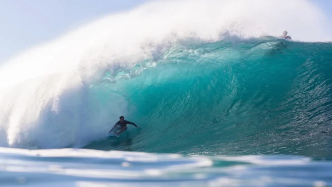
Another round of Wedge action, anyone? Photo: Lucarelli Photo//Facebook

More than two months after the first hurricane of the Eastern Pacific season, I feel like I’ve written the same story several times — Marie, Odalys, Polo, etc. Thanks to El Niño, every week I check the hurricane charts and, lo and behold, another hurricane, another swell for California. Rare incidents of three simultaneous hurricanes in the Eastern Pacific have become rather pedestrian.
So if you feel like you’re having deja vu, I do too. This time, Hurricane Rachel has formed off the coast of Mexico and is all but guaranteed to meander into the Southern California swell window, churning up another round of hurricane surf for next week.
Rachel has reached Category 2 strength with 105 mph sustained winds, currently located 230 miles south of Cabo San Lucas. Unlike Polo, the various models agree Rachel won’t make landfall and will drift west deeper into the Pacific Ocean. It’s still expected to gain strength over the next 36 hours, and could reach Category 3 with 120 mph winds.
8 PM MST Wed Sep 30 (Advisory 16) Key Messages for Hurricane #Rachel. Latest info: https://t.co/NyUGSIFCuo
8 PM MST miércoles 30 de septiembre (Aviso 16) Mensajes clave sobre el huracán #Rachel. Más información: https://t.co/NyUGSIFCuo pic.twitter.com/QpwBQ6t3yC
— NHC Pacific (@NHC_Pacific) October 1, 2026
Rachel will enter the Southern California swell window, but how much surf it creates will depend on several factors: how strong it is when it enters the window, what track it takes, and how fast it moves. Google’s DeepMind model indicates that the storm will enter the window on Saturday at Category 1 strength and maintain that strength until Tuesday, when it peters out.
According to Surfline, while the details are uncertain, Southern California should see some swell mid-week. The storm could even drift far enough west to send some moderate waves to Central and Northern California.
“We’re still a couple days out from a good idea of how much swell we’ll see,” Surfline said. “The reputable models are coming into better agreement that something is likely the week of the 5th. It’ll be paired with fun, good size (South Pacific) swell trending in, and there’s increasing potential to add some meaningful (North Pacific) swell to the mix.”
So, West Coast surfers, rest up while you can. The swell machine is going to turn it up a notch next week.

