
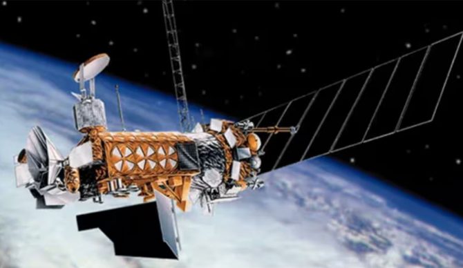
These satellites provide the military with important environmental information used in planning and conducting U.S. military operations worldwide and important weather data used to increase the timeliness and accuracy of weather forecasts around the globe. Image: NOAA
The U.S. Department of Defense announced on June 24 that it would basically stop using data essential to most hurricane forecasts. A day later, NOAA sent out a notice informing users that by June 30, “the Defense Meteorological Satellite Program (DMSP) and Navy’s Fleet Numerical Meteorology and Oceanography Center (FNMOC) will discontinue ingest, processing and distribution of all DMSP data.”
That means that all real time data collected from three NOAA/U.S. Department of Defense satellites that pertains to hurricanes will essentially cease to exist, at least in terms of getting that data out to the people who need it. It’s a decision that will surely have ramifications in the future.
“The permanent discontinuation of data from the Special Sensor Microwave Imager Sounder (SSMIS) will severely impede and degrade hurricane forecasts for this season and beyond,” wrote Michael Lowry, a Hurricane Specialist and Storm Surge Expert at Local 10.com, “affecting tens of millions of Americans who live along its hurricane-prone shorelines.”
As of this writing, the reason for the discontinuation isn’t exactly clear. According to reports, however, it could be that it has something to do with the Department of Defense’s security concerns.
Officials at the National Hurricane center are now scrambling to prepare for the Atlantic hurricane season, which officially began on June 1 and runs through December. They will be severely affected by the loss of data used in forecasting hurricanes and effectively warning the public. That’s especially concerning, because this hurricane season is supposed to be a doozy.
“Since hurricanes form and strengthen over the open water where direct observations are scarce or nonexistent, forecasters rely largely on data remotely gathered from satellites,” Lowry explained. “While hurricane hunting airplanes help to close that gap, they’re only available for about one in every three hurricane forecasts in the Atlantic and virtually none – except for a handful of stronger storm exceptions – in the Pacific.”
