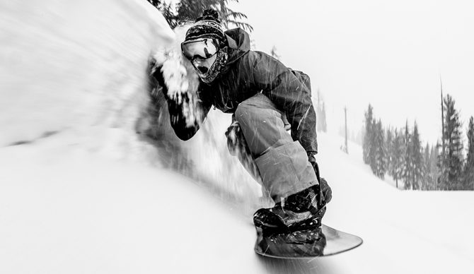
Time to get pitted. Photo: Andrew Miller
Atmospheric rivers have become a thing of wonder this winter and another one is forecasted to pound the West this week, starting Monday and continuing on through Thursday with parts of the region predicted to get 3-4 feet of fresh snow – and it should be quality.
From our friends at Powderchasers: “A cold moderate storm will impact the Rockies and PNW this weekend with good quality. A stronger Atmospheric River will impact most of the west from Monday-Thursday initially warm finishing cold. Several feet of snow will result in this storm over many areas of the West. Winds and initially warmer temps might impact a few areas especially the PNW initially.”
Yew! Ski areas all over the West are expected to get healthy dumps of snow. The Cascades in Washington and Oregon could see 3-4 feet. Idaho, Montana, and Wyoming could see 12-24 inches while some parts of the Sierras get a bit more moderate accumulation at around 12 inches. Other models predict the I-80 corridor near Lake Tahoe could see 10-20 inches of new snow. There could be high wind mixed in as well so check your local weather outlet.
The whole of the Western U.S. is poised to get a healthy dumping of snow after an already strong winter. Jackson Hole could pick up multiple feet by Wednesday and Utah’s Wasatch could see totals in the 20-28-inch range. Avy danger will obviously be high so resort surfing could be the call for the next week or more. Regardless, February is going out with a bang.

