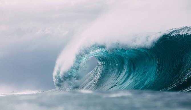
The East Coast is about to feel the power of Erin. Photo: Unsplash
Hurricane Erin, currently spinning north of the Turks and Caicos Islands, has regained strength to become a Category 4 storm on Monday morning with maximum sustained winds of 140 mph. Erin briefly reached Category 5 strength on Saturday with winds of 160 mph, before weakening to Category 3.
The storm is not predicted to make major landfall, but instead track north along the U.S. seaboard between North Carolina and Bermuda before veering northeast into the North Atlantic Ocean.
Swell from Erin has already pounded Caribbean islands. On Saturday, surfers in Barbados enjoyed Erin’s swell, while the Dominican Republic and Puerto Rico saw massive waves over the weekend.
According to Surfline, a buoy northeast of Puerto Rico registered 29-foot seas at an interval of 12 seconds on Saturday night into Sunday morning as the storm dropped a deluge of rainfall on the Virgin Islands and Puerto Rico. A buoy northeast of the Bahamas is predicting 49-foot seas at a 14-second interval as the storm turns north.
The National Hurricane Center warns that the “rough ocean conditions will likely cause life-threatening surf and rip currents.” Tropical storm warnings are in effect today for the Turks and Caicos and the southeast/central Bahamas.
Evacuation orders have been placed on some islands in North Carolina’s Outer Banks in anticipation of the swell, where flooding is expected Tuesday through Thursday.
Erin is expected to remain at hurricane force strength through the middle of the week. The hurricane-force winds extend 80 miles from the storm’s center.

