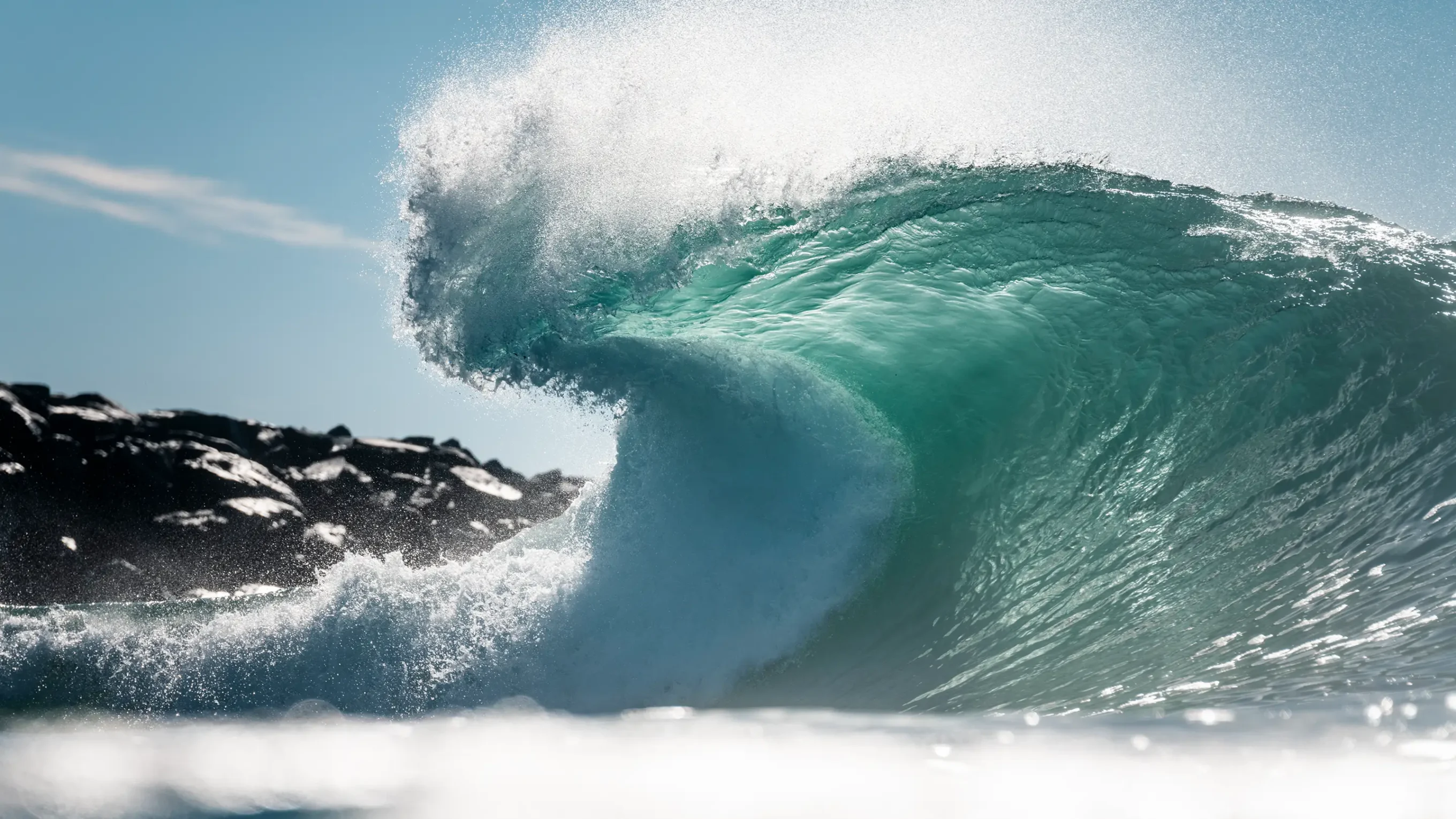
Hurricane season has been hitting the California coast with steady jabs. But experts warn that the stream of hurricane swells are softening the coastline before the true knockout punches come this winter.
Back in March, we spoke with Patrick Barnard, Research Director of UC Santa Cruz’s Center for Coastal Climate Resilience, about the hype around the off-the-charts El Niño predictions. At the time, he urged caution, noting that, amid climate change, weather patterns are becoming harder to predict. However, now that he’s observed more than five months of El Niño conditions, Barnard says ocean conditions have been “alarming.”
We caught up with Barnard again to hear the latest on what the models predict for a winter that, according to all indicators, will be unlike any on record.
This interview has been edited for length and clarity.
Now that we’ve had almost the entire hurricane season to observe this El Niño, has it met expectations? Exceeded them?
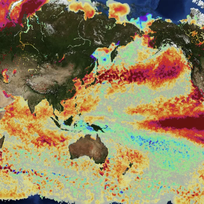
It’s exceeded them. It’s really evolved into an extremely powerful El Niño pattern. The sea surface temperatures are the warmest they’ve ever been off the California coast. That warm water in the Eastern Pacific generated an extreme hurricane season. We had all those really big hurricanes from Mexico, which is still going, and several hurricanes that nearly or slightly made landfall in Hawaii, causing billions of dollars in damage. So it was a strong leading edge to the season — more powerful, energetic, and impactful than we expected.
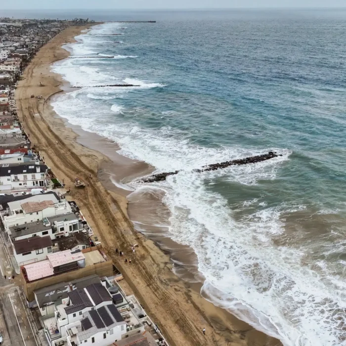
When we last spoke in March, I was really thinking about the winter and what it’s going to look like for California. But I think the amplification of the hurricane season, which is common during El Niño, was a little bit off our radar. It really turned out to be exceptional. (In California), the highlights were places like Capistrano Beach and Long Beach Peninsula, where the sand was ripped off from the beaches before the El Niño winter even started.
Hurricane season goes through November. Could there be a grand finale coming? Or have we seen the worst of the hurricanes?
The water is so warm in the Eastern Pacific. It’s record high. That’s fuel for these storms. We can certainly keep going until the end of hurricane season. You have to wonder if they’re going to have to extend (those dates) at some point if we keep getting deeper into the fall with this warm water.
Soon we’re going to certainly transition to winter storm patterns, and a lot of the energy is ultimately transferred to the mid latitudes. We’ll start to develop large extratropical events, which are the signature for California in terms of El Niño impacts — generating large waves and atmospheric rivers.
Is there an El Niño data point that has shocked you?
So far, it’s the sea level conditions. They’re already 12 to 18 inches higher than normal across California. During El Niño, six to 12 inches — even for a large event — is pretty typical, maybe just a little over a foot. In some cases, we’ve seen 18 inches above predicted tides in San Diego and L.A. That is pretty alarming, and we’ve got a series of Kelvin waves still to come. We might see two feet of sea level anomaly this winter, and that is really foreboding for significant impacts across the state. On top of that, we’re going to have the highest tides of a generation this winter because we’re at the peak of the 18-year nodal tidal cycle. It’s going to be pretty exceptional water levels coming up this winter. If storms intersect with those extreme high tides, we’re going to be looking at significant impacts.
The term “Kelvin wave” made headlines when it hit California earlier this month. But there are still more waves coming?
Yeah. I try to envision it like this: Typically, you have all this water being piled up in the Western Pacific from the easterly winds. When those winds relax, it’s almost like the water at the end of a bathtub. When you release that pressure, the water sloshes back across the Pacific in these waves, like ripples, and those ripples are how I envision the Kelvin waves. Those ripples can be days, weeks, even months apart, as they’re moving across the tropical Pacific, toward the east, and ultimately getting to the west coast of North America.
It sounds like the summer was the tip of the iceberg as far as impacts on the West Coast. What are the latest models saying about this winter?
NOAA is saying that it’s greater than an 80 percent chance to be the most powerful El Niño we’ve ever had in the historical record, and over a 90 percent chance that the winter is going to be the so-called “super El Niño.” There’s almost no doubt that’s going to play out throughout the winter. When we were talking back in March, I was like, “Well, it’s maybe slightly more likely than not.” It’s come into much sharper focus that it is very likely to be the largest event in the historical record, and that dates back to around 1871.
The hurricane season is an indicator of that — just how much warmer the ocean is than even during a normal El Niño winter. We’ve already seen the impacts in California, especially in the south-facing beaches that bore the brunt of those big south swells. A lot of these beaches are going to start the winter storm season heavily depleted. Typically, the beaches are building throughout California during late spring, summer, and fall. That’s when they’re (at their widest) and able to provide at least some protection for the El Niño storms. Everything points to this being a very costly winter. Communities across the state are preparing right now to anticipate that. Maybe it was slightly fortuitous, to try to put a silver lining on it, that we had these early events that raised everyone’s eyebrows and got people into action to prepare for what’s to come.
As big swells hit these depleted beaches, can we expect more emergency seawalls and armoring in California? Is that a solution?
The short-term solution definitely is emergency response. If we have a couple of storms that drop pretty far south, it’s going to put intense pressure on those beaches. It also shines a light on these communities that are going to be at risk more and more frequently in the future. We can’t just keep bulldozing and putting emergency revetments in place. It’s just not sustainable. I hope this will drive action toward more sustainable solutions. Think more about conservation and restoration of our natural resources — dune and tidal wetland restoration.
In some cases, maybe we’re going to have to decide we need to get out of the way because we just can’t keep pumping millions of dollars into these short-term band-aids that are going to keep recurring. This is a sign of things to come because we’re going to get about another foot of sea level rise by the middle of the century. That’s basically what we’re experiencing temporarily this winter, or more.
Can we expect the warm water on the West Coast to persist through the winter?
El Niño warm ocean temperatures typically persist at least through December. In 2015-16, it peaked right around December/January, as I recall, then it started to come down. It should persist pretty deep into the winter. We got a few more Kelvin waves coming up the coast, so that’ll keep it going. I think we’re going to have these record temperatures for several more months at least.
Is El Niño showing any signs of peaking, or is it still ramping up?
It’s definitely still ramping up. Looking at the El Niño indices for sea surface temperature in the eastern, east-central Pacific, which NOAA uses as the barometer for the strength of El Niño, it’s at 2.2 (degrees Celsius over the norm) right now. Anything over two is the so-called super El Niño. We were at 0.5 in April. It was 1.8 last month, so it just continues to go up. In 2015-16, it was half a degree lower this month, so this is half a degree warmer than it’s ever been this time of year for an El Niño winter.
I’ve heard folks think we might get to three degrees by November or so. The highest this index has ever gotten was 2.6 in 2015-16. We’re definitely going to exceed that, maybe by next month. They’ll have a new category of El Niño at that point because we’ve never seen anything like that.
This must be fascinating for scientists. Are there any interesting studies going on in California or around the world that you’re aware of?
USGS and Scripps are mobilizing all their resources to get as many data points and observations as they can throughout the winter — how the beaches are changing, water levels, wave conditions. There are sensors in the water already, like Scripps’ buoys that you use for surfing. Those are really helpful because they’ve been in the water for a long time. But people are getting as many instruments in the water as possible and boots on the ground to measure beach conditions and cliff conditions. There’s a West Coast-wide airborne lidar flight that’s being mobilized. And, of course, from the atmospheric perspective, there are lots of people who are looking at the conditions daily in terms of sea surface temperatures, wind patterns, and pressure patterns across the Pacific, because of the novelty of this event in terms of how extreme it is. There’s going to be a lot of academic papers written after this one.