Another tropical storm is brewing off Mexico, and it could direct strong waves and rain toward California. The National Hurricane Center says the system could become a named tropical storm by tonight, with 90 percent certainty that it will form in the next 48 hours.
It would become the third storm in the Central/Eastern Pacific, as Hurricane Karina is currently Category 4, well southwest of Baja California, and Tropical Storm Lowell, closer to the Hawaiian Islands, is expected to become a hurricane later today.
The new storm, which would be named Marie, is not expected to follow the generally westerly tracks that Karina and Lowell took. While models still largely disagree on what will become of this storm, some suggest that it could head north and make landfall in Baja California, while others indicate that it could head towards California and veer west into the Pacific Ocean.
11 pm PDT Aug 29 – In addition to Tropical Storm #Karina and #Lowell, NHC is monitoring two other systems for formation during the next week. Visit https://t.co/NyUGSIFCuo for details. pic.twitter.com/ZKq2l4SoTy
— NHC Pacific (@NHC_Pacific) August 30, 2026
Google’s DeepMind forecast says the storm could become as strong as a Category 3 hurricane, taking a favorable northwest track toward California.
If it does reach California, it’s unlikely that it would maintain hurricane or tropical storm status. Despite the record-high ocean temperatures across the region (mid-70s), the water isn’t warm enough to fuel a hurricane. But the moisture that it carries north can still be devastating, as occurred when the remnants of Hurricane Hillary caused major flooding in California in August 2023.
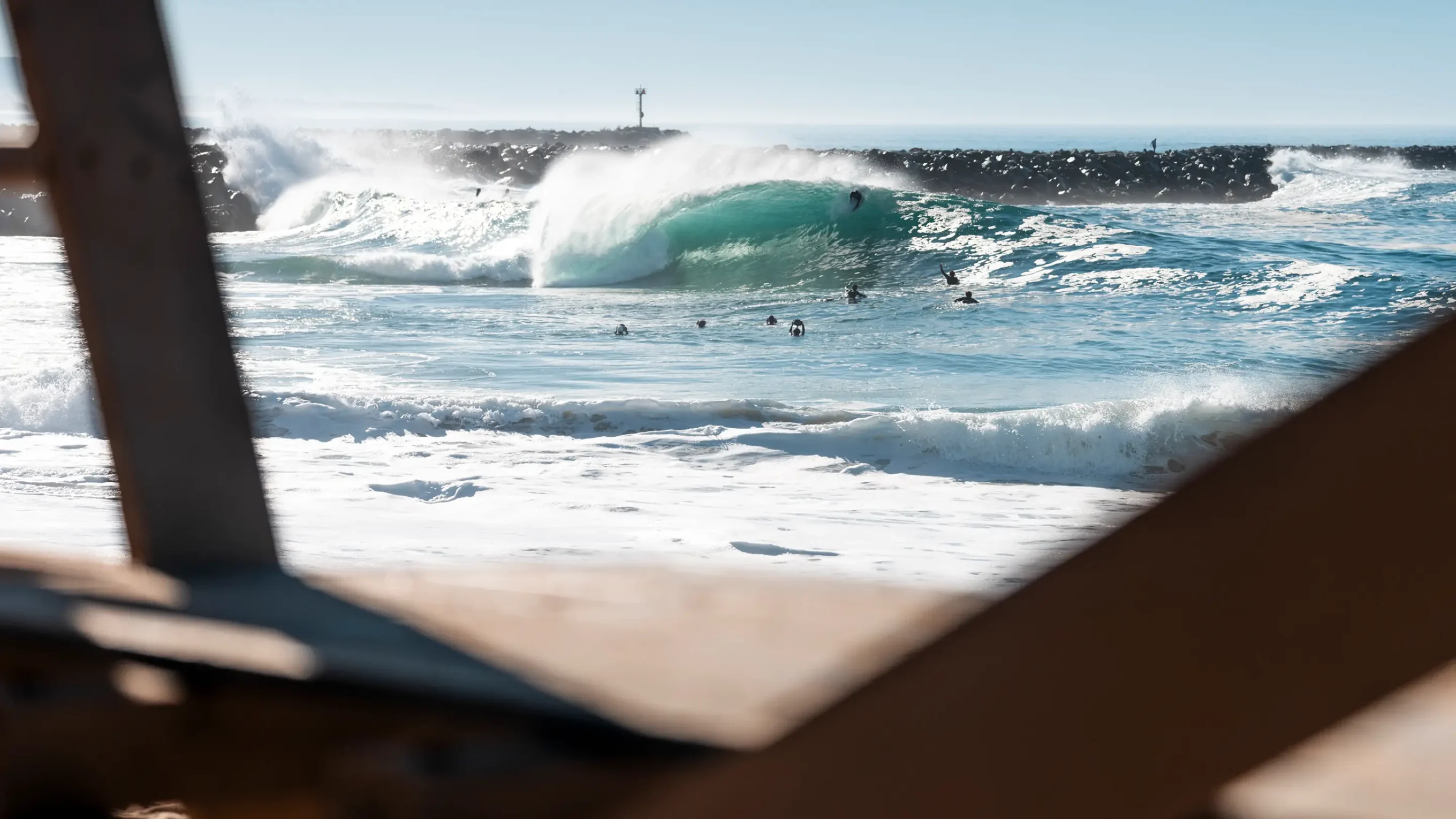
The storm will most certainly create a solid pulse of surf for Southern California, but the intensity and track of the storm will determine how good. According to Surfline, the swell could start to pick up on Friday evening and run over Labor Day weekend. Confidence will improve in the coming days as the storm takes shape.