When the depression that would become Hurricane Marie first popped up on the chart, models were going haywire trying to figure out what would become of the storm. Some said it could make a beeline straight to California. Others said it would make landfall in Baja. Some said it would drift out deep into the Pacific.
Now, as Marie spins 550 miles southwest of Baja California, its track has become clearer. It won’t smack the California coast. Instead, it will travel in a west/northwest trajectory out to sea.
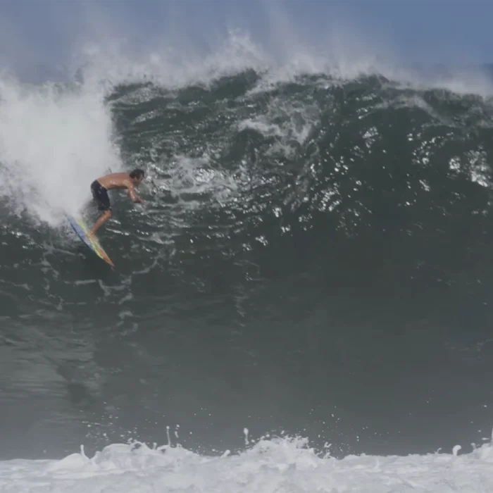
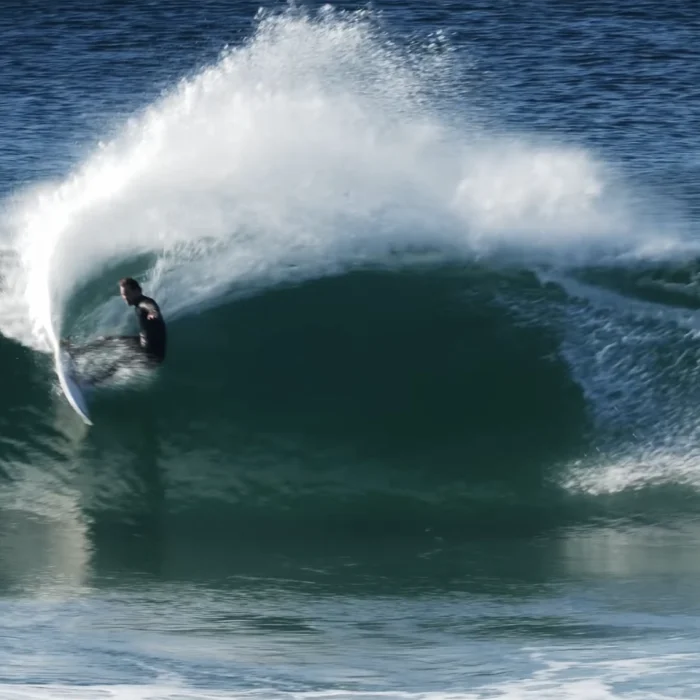
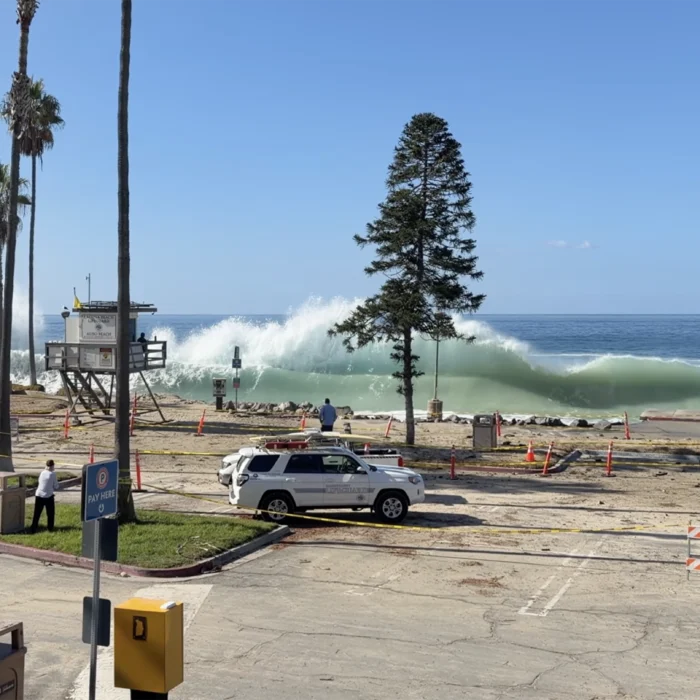
But even though Californians won’t get hit by a hurricane, the storm won’t go unnoticed. A strong south-southeast hurricane swell will build on Friday and peak over the holiday weekend in Southern California.
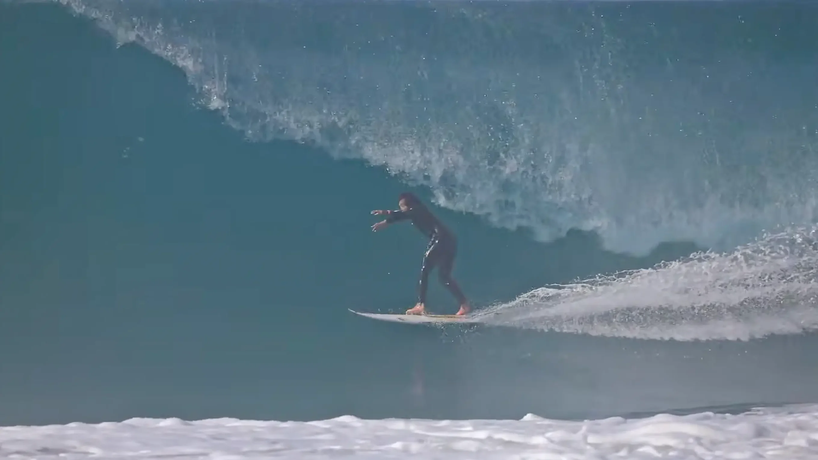
The National Hurricane Center warns of “life-threatening surf and rip current conditions,” while Surfline says top California spots can expect overhead surf similar to the Iselle swell that hit last week. The storm will track far enough west that even select spots in Central and Northern California could get in on the action.
Marie’s track is similar to the famous 2014 hurricane of the same name. The difference is the intensity. This year’s Hurricane Marie, while well within the Southern California swell window, is a Category 2 with 100 mph winds. The 2014 Hurricane Marie exploded into a Category 5 with 160 mph winds, creating one of the most memorable runs of hurricane swell to hit California in recent memory.
Marie’s tropical moisture could create some rainfall for Southern California this weekend, but the real threat is the surging swells and rip currents.